
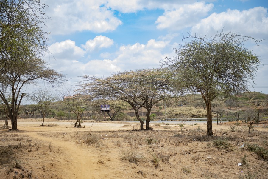
NAIROBI — Kenya is heading into an unusual weather transition: some parts of the country are likely to remain dry in the short term even as forecasters prepare the public for a much wetter October-to-December season.
The contrast is already visible in the latest forecasts.
The Kenya Meteorological Department (KMD) says most of the country is expected to remain generally dry in the immediate forecast period, with rainfall mainly confined to parts of the Coast. Its August 27 forecast specifically points to light showers in parts of Kilifi and Kwale.
At the same time, the country's newly released outlook for the October-November-December (OND) season projects above-average rainfall across much of Kenya, with the strengthening 2026 El Niño expected to play an important role.

That means Kenyans should not mistake the current dry spell for a sign that the anticipated wet season has weakened.
Instead, meteorologists are describing a transition in which the immediate weather and the coming seasonal pattern can look very different.
Dry conditions before the rains arrive
Weather forecasting expert Maithya wa Vilivū has warned that parts of the Rift Valley, Western Kenya and Nyanza could remain dry in the coming days as atmospheric conditions suppress rainfall.
His assessment comes against the backdrop of KMD's latest short-range forecasts, which show that much of Kenya is currently experiencing generally dry conditions, while selected coastal areas are receiving showers.
The Coast is expected to have a different experience.
Increasing south-easterly winds are carrying moisture inland from the Indian Ocean, creating conditions favourable for showers along parts of the coastal strip. Some of that moisture may also reach the windward slopes of the Central Highlands and parts of eastern Kenya.
But the short-term forecast should not be confused with the outlook for the coming rainy season.
The bigger weather story is October onwards.
El Niño signal is getting stronger
KMD's latest seasonal outlook says the 2026 El Niño is continuing to strengthen over the central and eastern tropical Pacific.
That assessment is supported by international climate monitoring. The International Research Institute for Climate and Society at Columbia University reported on August 19 that the Niño 3.4 index had reached +2.7°C in the week centred on August 12, following a May-July seasonal average of +1.51°C and a July monthly reading of +2.03°C.
Those figures indicate a strong and intensifying El Niño signal.
For Kenya, however, El Niño does not mean that every part of the country will receive rain at the same time or in the same amount.
The influence changes with the season and interacts with other weather systems, including the Indian Ocean Dipole (IOD).
The IOD is currently neutral, but KMD expects it to strengthen towards its positive phase later in the year. A positive IOD can reinforce the rainfall-enhancing effect of El Niño over East Africa.
When should Kenyans expect the rains?
The latest KMD outlook gives different onset windows depending on where people live.
In parts of Western Kenya and the Lake Victoria region, rainfall is expected to continue from September.
For Nairobi and the Central Highlands, including Nyeri, Kiambu, Murang'a, Meru, Embu and Tharaka-Nithi, the main OND rains are expected to begin around the second to third week of October.
Parts of Machakos, Kitui, Makueni, Kajiado and Taita-Taveta are expected to see the onset around the third to fourth week of October.
Along the Coast, including Mombasa, Kilifi, Kwale and Lamu, the main season is also expected around the second to third week of October, although rainfall patterns there can vary.
In Turkana and Samburu, onset is forecast for the third to fourth week of October, with rainfall distribution expected to be poorer than in most other parts of the country.
KMD says rainfall should be fairly to well distributed across much of the country, but prolonged wet spells and isolated storms are also expected.
This is not simply a forecast for 'more rain'
One of the most important messages from the latest outlook is that above-average rainfall does not necessarily mean continuous rain every day.
Rainfall can arrive in bursts.
That distinction matters because prolonged wet spells followed by intense storms can create very different risks from steady, moderate rainfall.
The country could benefit from improved water availability, pasture regeneration and agricultural conditions. But intense rainfall can also raise the risk of flash floods, landslides, waterborne diseases and damage to roads and other infrastructure.
The Government has already been urged to turn the forecast into early action rather than wait for disasters to occur.
Speaking at the close of the 13th National Climate Outlook Forum in Nairobi on August 27, Environment and Climate Change Principal Secretary Festus Ng'eno said climate information should lead to practical decisions that protect lives, livelihoods and the economy.
“We must move from climate information to early action,” Ng'eno said.
He urged farmers, pastoralists and other sectors to use the forecasts to make decisions before weather-related impacts occur.
Farmers face a difficult balancing act
For farmers, the timing could be critical.
Planting too early, before reliable rains establish themselves, can expose crops to moisture stress. Planting too late could mean missing the most favourable part of the season.
The latest forecast therefore gives farmers a window to prepare, but not a guarantee of exactly when rain will fall on an individual farm.
KMD continues to stress that seasonal forecasts should be read alongside shorter-term forecasts and advisories as the season approaches.
That is particularly important because phenomena such as the Madden-Julian Oscillation and tropical cyclones can alter rainfall intensity over shorter periods.
What happens between now and October matters
The temptation may be to focus entirely on the expected heavy rains.
But the next several weeks will be just as important.
For communities in areas currently experiencing dry conditions, the immediate priority remains managing water, pasture and crops while waiting for the seasonal rains.
For counties facing the prospect of flooding later in the year, the warning period is already here.
Road drainage, bridges, river crossings, schools, health facilities and settlements in flood-prone areas can be assessed before the heaviest rains arrive.
That is particularly important because Kenya's recent experience with extreme rainfall has shown that the biggest losses often occur when preparedness does not keep pace with changing weather conditions.
The message from forecasters: stay alert, not alarmed
The emerging picture is therefore more nuanced than simply saying Kenya is about to experience an El Niño.
Right now, large parts of the country remain dry.
From September, some western areas are expected to see increasing rainfall.
By October, the short rains are expected to become more widespread.
And as El Niño strengthens, the potential for prolonged wet spells and intense rainfall will require close monitoring.
KMD is expected to continue updating the forecast as new observations become available.
For Kenyans, the practical message is simple: do not wait for the first heavy storm to prepare.
The current dry spell may be the quiet part of a much wetter season ahead.
Related Stories
- Ruto says Gen Z protests were a call to be heard, not an attack on democracy
- Katiba Day 2026: Why August 27 Matters to Every Kenyan
- Katiba Day 2026: 16 years later, is Kenya living its Constitution?
Category: News
Related Explainer: Fact Check: Did elephants save people during Nepal’s floods?
About the Author
Maureen Onyango is a journalist passionate about storytelling, life coaching and spiritual lessons. She studied at the Kenya Institute of Management and enjoys telling stories that inform, inspire and empower communities.
 Facebook
 Twitter / X
 WhatsApp
 LinkedIn
 Telegram
 Reddit